MER BLEUE – UXO DETECTION PILOT PROJECT
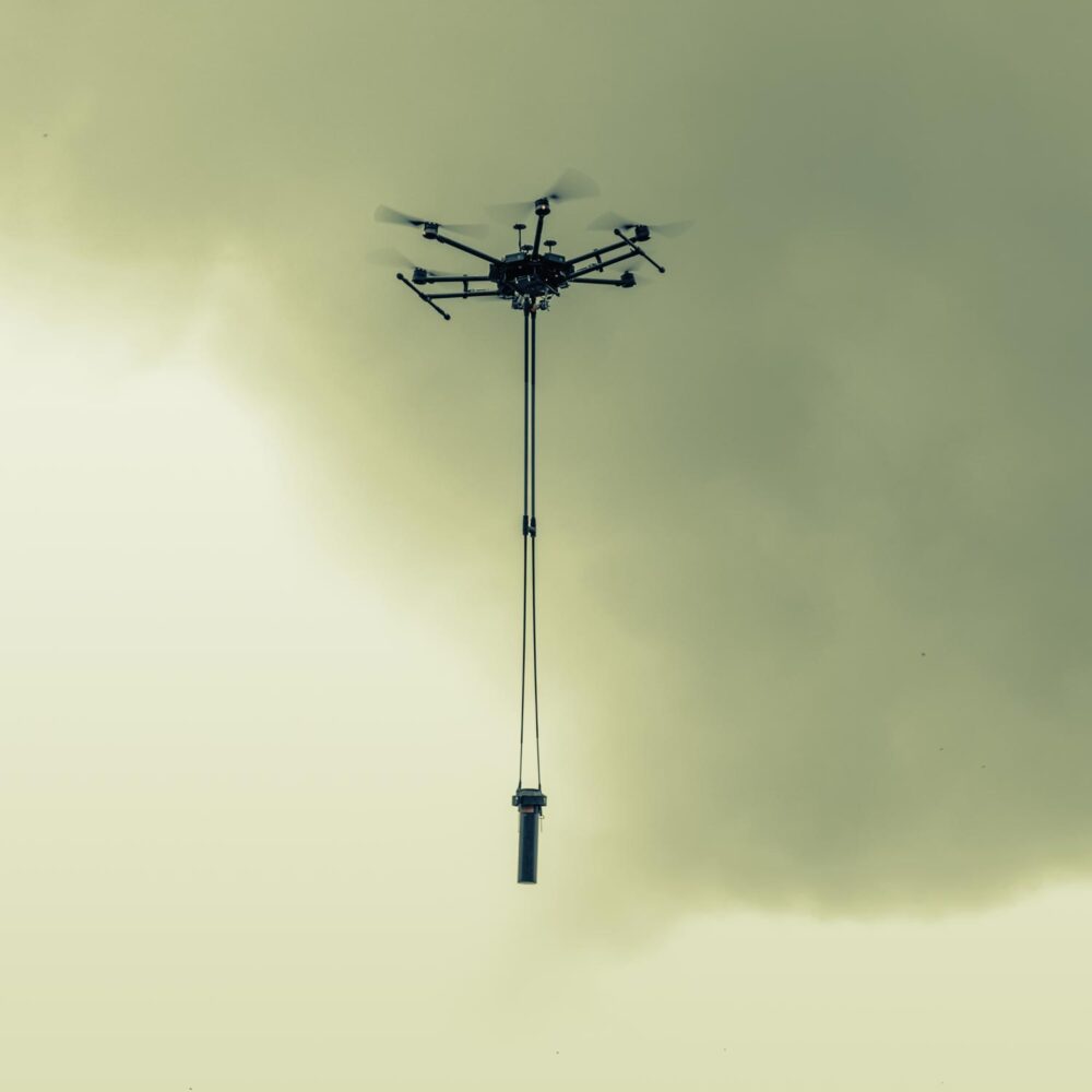
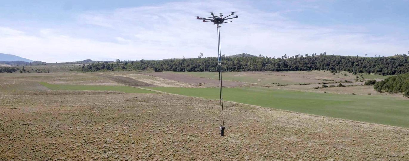
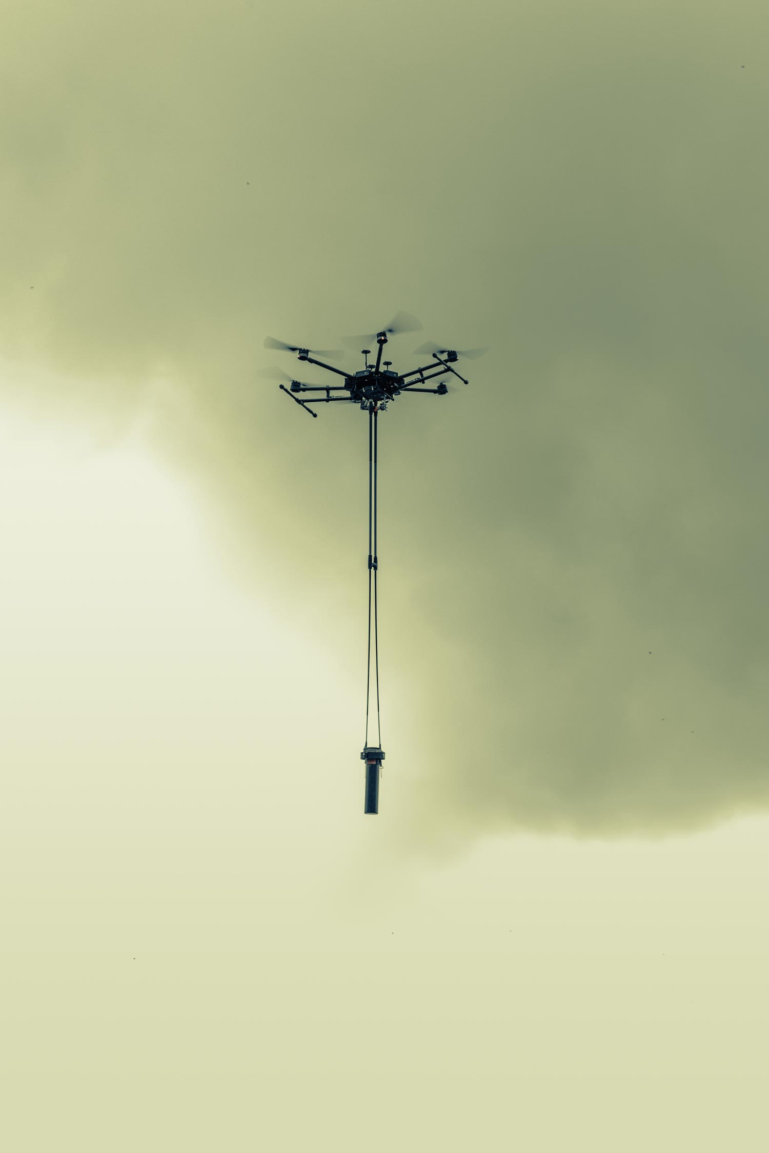
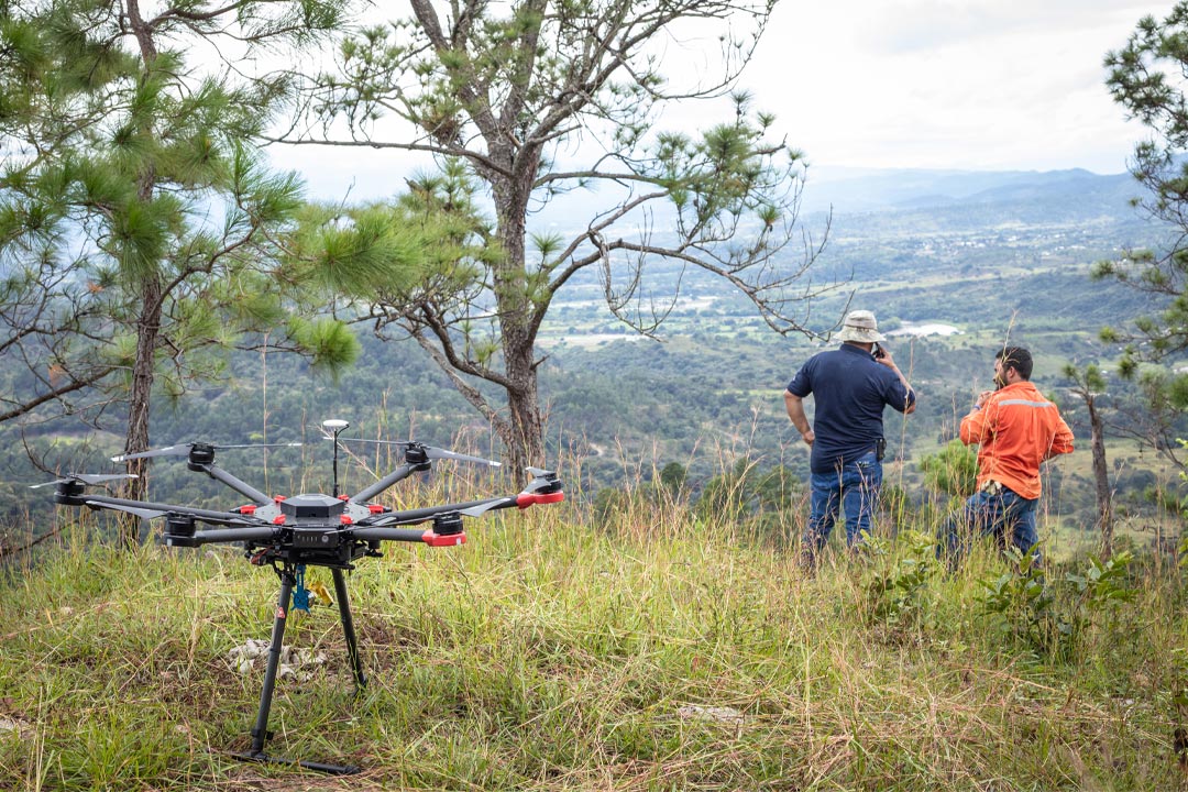
Ottawa, Canada. Our UAV-based triaxial magnetometry and radiometry solution is proving how semi-automated workflows can transform subsurface detection in environmentally sensitive areas. Over a single pilot campaign, we surveyed 85 hectares of challenging wetland terrain, validating real-time data decoding, on-site QA/QC, and automated pre-processing. This approach demonstrated up to 40% faster anomaly detection and significant cost savings compared to conventional manned aerial surveys — all with minimal ground disturbance.
By integrating modular payloads, field-ready computing, and automated workflows, we delivered precise, actionable geophysical intelligence that supports risk reduction, habitat protection, and future AI-driven data processing.
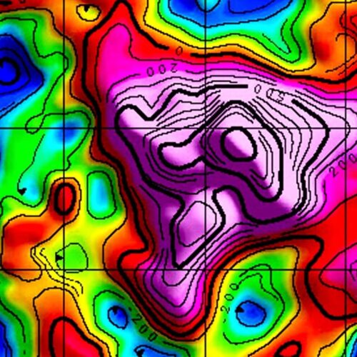
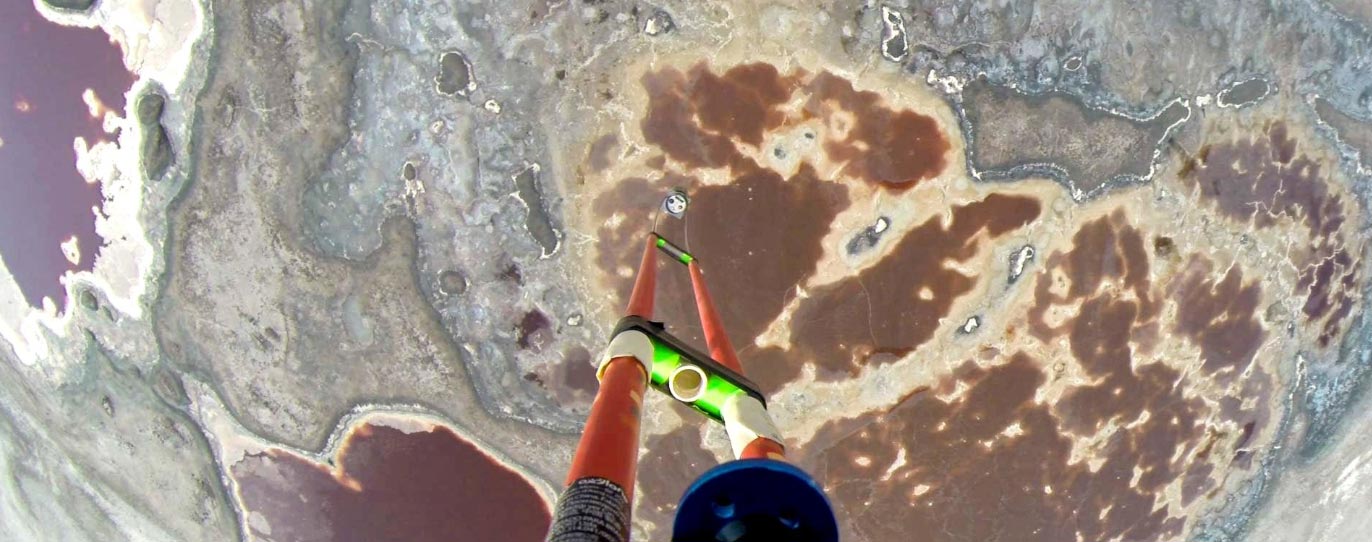
Our UAV-based triaxial magnetometry and radiometry pilot at Mer Bleue demonstrates how semi-automated workflows can modernize subsurface detection in complex wetland terrain. In just 4 flight days, we covered 85 hectares with multiple flight polygons, generating high-resolution magnetic field and radiometric profiles.
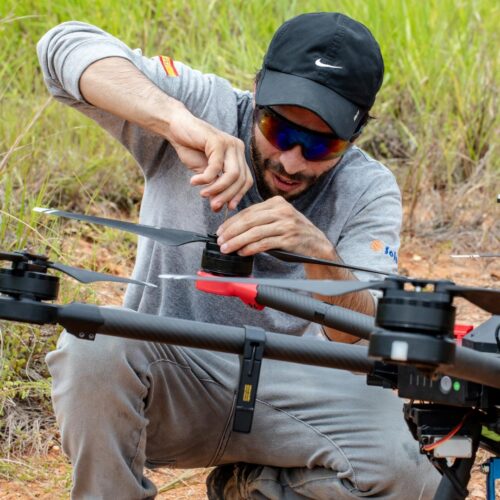
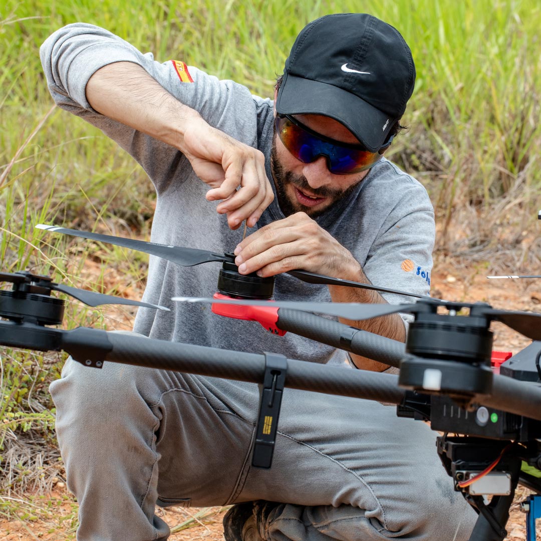
Field operations included on-site sensor calibration, real-time data decoding, and pre-processing for immediate anomaly visualization. This allowed rapid validation, iterative corrections, and clean integration into GIS for further modeling. Compared to conventional manned helicopter surveys, our modular UAV approach delivered high-density data at significantly lower cost and near-zero site disturbance.
Outputs included:
-
Flight lines flown: 3 main polygons with triaxial fluxgate magnetometer and gamma spectrometer payloads.
-
Raw data points captured: ~42 million data points total (triaxial magnetic vectors, radiometric counts, GPS).
-
Processed data: Decoded, cleaned, and structured for post-processing and magnetic anomaly detection.
-
Daily acquisition capacity: Up to 12–15 million points/day.
-
Effective resolution: ~15 cm per sample point with overlap for high-density anomaly mapping.

